Our consultants, data analysts and data engineers are platform agnostic and can adapt their advice to your cloud and software environment to deliver a solution that fits your needs. This could be a one-off tool residing on your IT estate or an ongoing data processing service.
1) Data strategy development – we can help organisations determine how they can better use data to improve business outcomes. This includes existing organisational and open source data, and the operations, tools, and team structure that need to be put in place to embrace data collection, processing and analysis.
2) Data engineering, processing & management – we can help organisations deliver data processing, migration, storage and/or automation. Services can include:
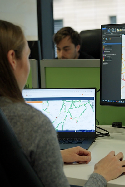
3) Insights and business intelligence – we can produce dashboards, maps, and other visualisations to support communication and insights.
FarrPoint have helped the Building Digital UK team to create an automated data validation and quality checking system in support of the National Open Market Review process. The new process resulted in 35%-time savings and cutting around 3 weeks off data ingestion timescales. This new data-powered solution has allowed BDUK to understand the current state of UK wide Gigabit Coverage much more efficiently.
Andrew Murphy, Head of Technical OperationsWhether you have already identified sources of data to leverage and need help to put data flows in place or are looking for support to structure an approach to use data as part of a wider digital transformation, get in touch with our team to start a discussion. We are happy to provide a one-off engagement to advise on strategy, deliver a flow or dashboard on your IT estate, or a longer-term engagement to see through the implementation of a strategy or deliver an ongoing data processing service. FarrPoint will provide a tailored and pragmatic approach to put you on the right path.


Find out more about our projects or get in touch with us to discuss our services.
Connectivity is important. It drives business and society, bringing communities and commerce together. That's why we use our insight and experience to connect people and business.