Authors: Jean-Donan Olliero & Chris Bond, Consultants at FarrPoint
The role of GIS
The beauty of GIS mapping technology is not just the ability to provide visual representation of datasets in an easy to digest format, but the potential to combine or correlate this information with all kinds of other data to enrich analysis and understanding.
This means the role of GIS is rapidly expanding from traditional mapping of the urban or rural environment and static infrastructure, to becoming a vital tool to analyse the wealth of data being produced and updated on a regular basis from IoT devices (including smartphones), and increasingly being made available on an open data basis for anyone to access. This expansion is in part fueled by the pervasive availability of location data, collected by most smartphone apps for example, and the ease of sharing such data through apps and platforms and open standards.
Data analysis, visualisation and mapping
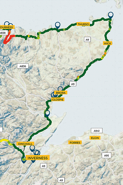
At FarrPoint, a lot of our consultancy work involves telecoms and broadband infrastructure data analysis, mapping and modelling. Sitting at the comfort of my desk in Edinburgh, GIS makes it possible for me to access and visualise everything from the precise location of every premise in Scotland, ducts and other infrastructure on a site, and which properties in an area or community have access to broadband services. GIS technology is even more powerful when combined with the swathes of information available in the form of open data. For example, I can overlay information on existing telecoms assets and infrastructure with the type of properties, their area of business and socio-economic profiles to enable significantly improved analysis and decision making.
GIS improves planning and helps to better understand complex data
When used by everyone on a project team, it helps improve and accelerate planning by increasing the availability and understanding of complex information, and crystallise the issues and opportunities for all team members. One way we are enabling this for our clients is by developing an in-house mapping portal that can take data from any source, including IoT devices, and combine it with other geospatial information to produce an easily understood and interactive visual interpretation of the data.
This allows our clients the flexibility to visualise, manipulate and analyse their own data, often in the context of other datasets from a multitude of sources, open or not, hosted on the platform or streamed from live feeds. For example, detailed satellite imagery or Google StreetView images can be overlaid with information about broadband access to houses, and the location of cabling and other infrastructure in the area. Crucially, clients do not need to be data experts to understand the picture in front of them.
It also gives full access to the information, in map form, to any individual within a wider stakeholder team, with users needing only access to a web browser to get started, rather than a bundle of plans and notes or costly software packages. Laptops but increasingly tablets and smart phones can then be used on site to not just connect and view data but to interact by directly editing the map data and collecting new information. We currently use it to provide vital information to suppliers in tendering exercises to allow companies to calculate more intelligent estimates for work when given access to a visual representation of the data as well as easy to use spatial analysis tools.
In future, the proliferation of IoT devices and associated data will increase the range of applications for this kind of data-enabled GIS mapping. Taking information from the surrounding environment, the technology will allow strategic and specific project planning decisions to be made without the need for specialist data skills.
GIS and Smart Cities
Access to such visualisation tools and to real-time open data is what is needed to drive forward progress in smart cities and rural areas.
The possible applications of GIS tools in the public sector are vast. Health and social care planning, in particular, could benefit incredibly. For instance, the mapping of anticipated telehealth users based on social-demographic information of age or hospital admissions with the availability of connectivity services, to target investment in services or understand where the peak demand may come from.
From an operational point of view we know health boards track their ambulances in the field and visualise these in real-time but these tools will have to evolve to cater for the wealth of additional data from sensors and other partners that can be overlaid with a view to enhance analysis and identify patterns of activity in real-time. Local authorities could identify accident hot spots and manage the traffic in those areas in response to live data flowing into the portal.
Across the economy and for businesses of all sizes this technology could be game changing – tackling the productivity puzzle head on. What kind of manager would turn down the ability to see where they have spare infrastructure and capacity, where they have gaps, and use that intelligence to plan future development and innovation? Once such information becomes more widely available there will be no looking back.
GIS and IoT services at FarrPoint
We provide a variety of services in this area. Visit our sevices page to find out more.